AZGS upgraded products of the Digital Geologic Map (DGM) series with geodatabases and other data formats (GeoJSON or Google Earth KMZ) for users to access, query, and portray the map data. Over the past several months they have added databases to more than twenty 7.5′ geologic map quadrangles. See the list of topographic map names below.
- Clark Ranch
- Davis Dam SE
- Esperanza Mill
- Fairbank
- Happy Valley
- Hereford
- Land
- Lewis Springs
- Lookout Mountain
- Middle Water Spring
- Needles NE
- Peppersauce Wash
- Redington
- Saint David
- Somerton
- Soza Canyon
- Star Well
- Twin Buttes
- Wagner Wash Well
- Waterman Peak
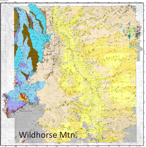
- Wildhorse Mountain
- Yuma East
- Yuma Southeast
- Wildhorse Mountain
For map citations and active links to the individual maps and their databases, visit the recent Arizona Geology blog post, “Enhancing AZGS’ Digital Geologic Maps with GIS Data Formats.”